A jazz trio from Mexico City has just started into their first set at Chacmool, the local Coffee shop restaurant, Chacala, Nayarit. It's a nice way to end a day that was difficult to get

JANUARY 3 THROUGH MARCH 14, 2018
+

This trip only happens because of Mexico's prevalent wi-fi. Not always super functional, but often good enough. Work still happens, same as always! Not a bad view from the office and the coffee is good and cheap, the owners very friendly and the weather is wonderful. I just found out they have a beachfront room available next door. Upgrading Tuesday

Light rain at the end of today and an amazing Chacala, Nayarit

Today is my last day in San Pancho - for now. Ann arrives in Mexico a week from today and the weather is threatening light rain south along my eventual path. A passing mention of Chacala at dinner last night and a google search today has me interested - there's time to check it out. The unique protected bay will makes for good swimming. Should be setup in one of the many casa rentals by early


Secure, reasonably clean and friendly, family run Hotel Las Glorias. Works well for a few days and it's just a couple doors back from the beach. $18

Time to move on south to San Pancho and visit with friends Layne and Ricardo


Quick update. Arrived this morning in Mazatlán via Baja Ferries’ overnight service from La Paz. Trying to get my ferry ticket ahead of time, important if you want a room. At 18 hours over night, the trip requires a room. The website won't charge my credit card, so I'm going in the day before to get a ticket. Oh, only First Class is available, sure, $10 more so I can sleep in a room! It appears this used to be a Japanese ferry. It's actually very
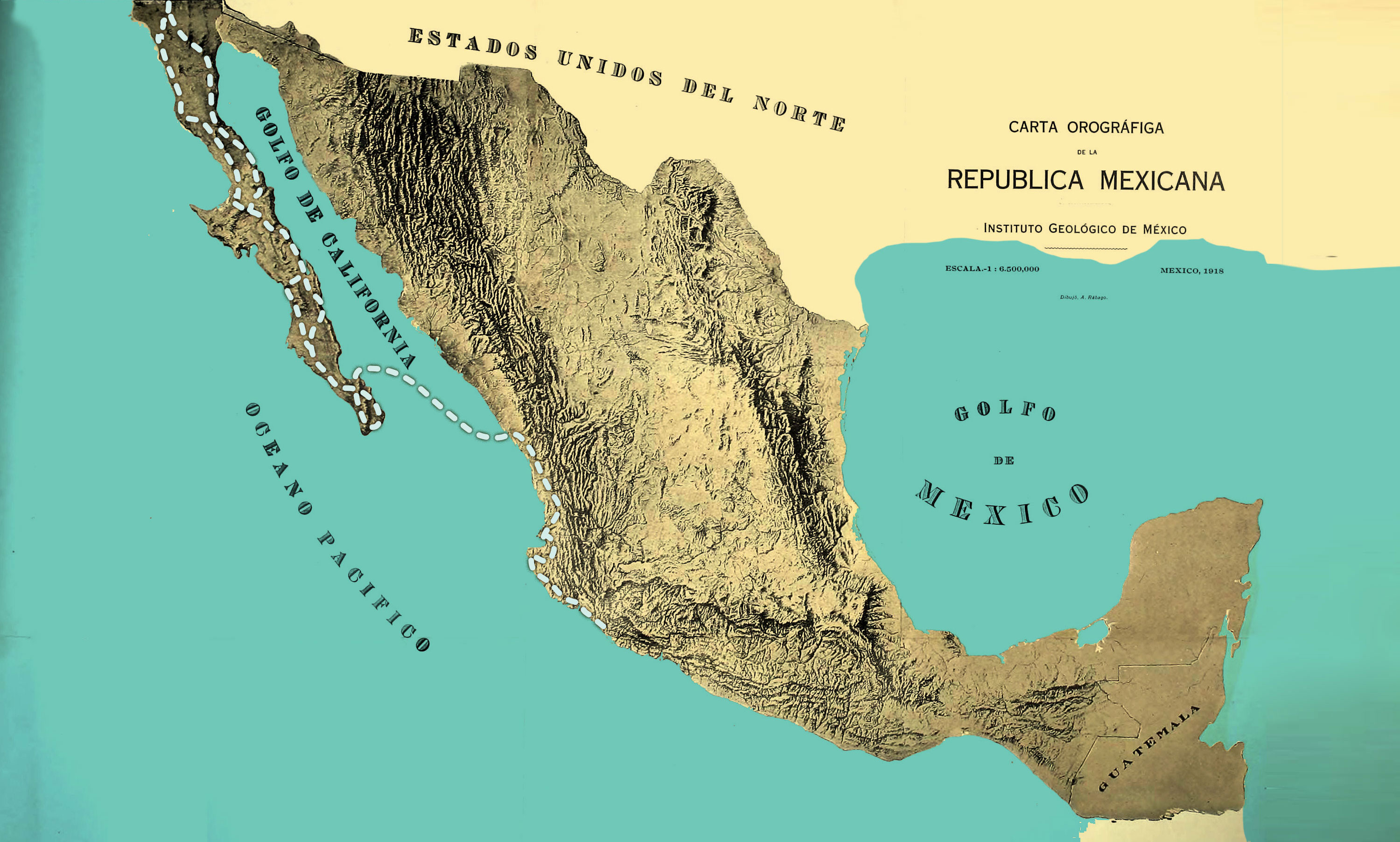
Early start this morning to play with the 360º camera and fuel up. A significant dirt section is planned, 135 miles of desert and coastal roads. The orange section on the map is dirt, most of it your average, level-ish desert dirt road. It is becoming steep at times and is a mixture of softball sized rocks and boulders within 8 miles of the fishing village of San Evaristo on the Sea of Cortez. I'm committing now, knowing I can't back and hopeful the other coastal road out is passable. Otherwise hiring a truck to haul me back up this way is the only other option going through my mind. The batteries have died on all the cameras as I’m deciding to push on to La Paz, trust me, beautiful and interesting
Walking from hotel Hacienda, west along the river's edge, I find myself at a lookout above a spring fed river estuary on its way to the
It's so quiet here every little noise is noticeable. All night the sound of the wind put images of animals in my head - some sort of coyotes. This morning it's more dirt road, about 80 miles of it then paved highway to the "lush" town of Mulegé on the Sea of